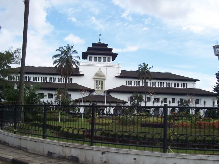
'Heart' of Javanese culture.
Data and Statistics
Central Java Province is flanked by two large, namely West Java and East Java. Located 540 'and 8 degrees 30' south latitude and between 108 degrees 30 'and 111 degrees 30' east longitude (including the island of Publications). Farthest distance from west to east is 263 km and from north to south 226 km (not including the island of Publications).
Great Mosque of Demak. Photo: thedevinicesecret.com
Central Java Province comprises 29 districts and 6 cities. Formerly Central Java are regions of the kingdom. Some of them are Buddhist kingdom of Kalinga, the Kingdom of Demak, and the kingdom of Mataram. Today, Central Java still has 2 royal result of the division of Mataram Kingdom Kasunan Palace in Surakarta and Yogyakarta Sultanate Palace. Central Java, usually considered the 'heart' of Javanese culture.
Solo River, the longest river in Central Java (572 km) and has a spring in the mountains Sewu (Wonogiri District). Flow through the city of Surakarta, heading East Java, and finally culminated in Gresik, near Surabaya.
Some volcanoes are still active in Central Java province include Mount Merapi, Mount Slamet, Mount Sindoro, Gungung cleft, and Mount Dieng.


No comments:
Post a Comment